

“You have reached your destination,” GPS says in her clear, confident robot voice.
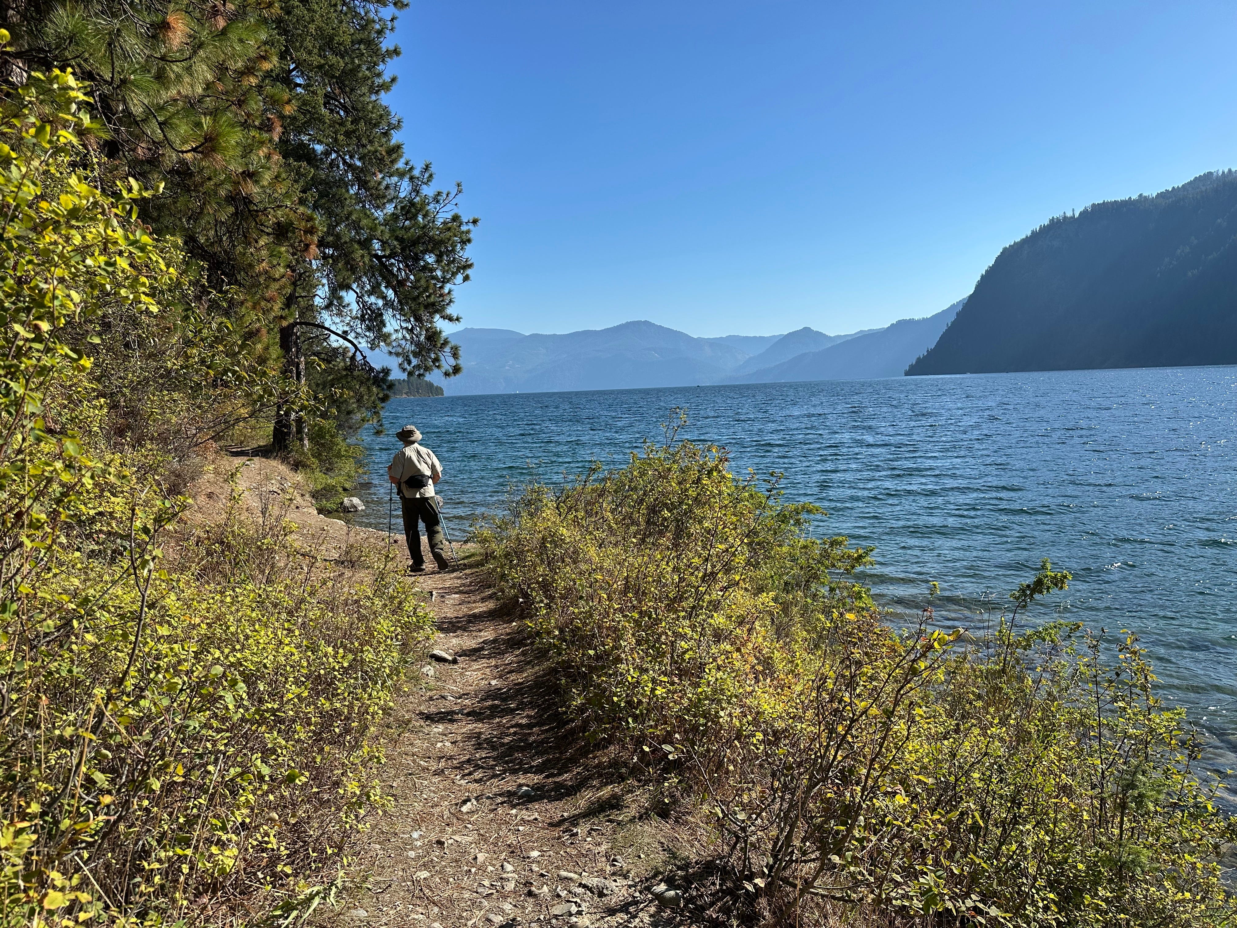
I see a wide patch of grass near a dumpster. I park. Walk a short way. A wooden sign lists six potential destinations (including a swimming area, boat launch, and High Point Trail) and 3 sets of meaningless numbers: 71, 72, 70.
There is no indication that Idlewilde Bay Trail is nearby.
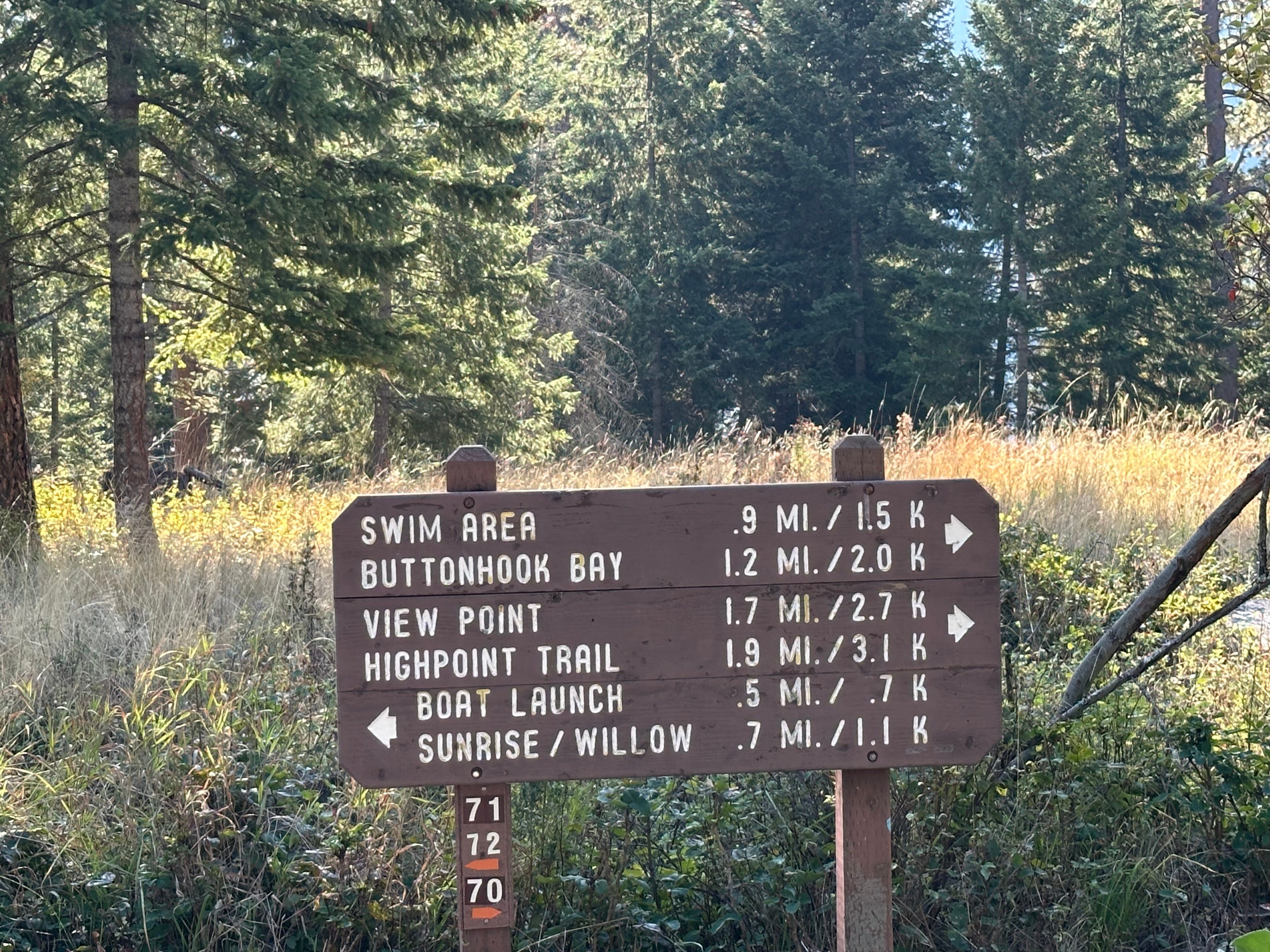
“There’s another sign down there,” I say to Ken, pointing down a path to my right. “Let’s see what it says.”
As we approach, my confusion grows. Two more trails: Upper and Lower Shoreline, and more meaningless numbers: 64, 62. Still no trace of our planned destination.
“Maybe I took a wrong turn?” I say.
“Maybe,” Ken says.
I look at my watch. Feel anxious. It is 10:00 AM. We need to finish our hike, go home, and pack for our trip to Colorado. We leave in the morning for a Cox family reunion in Estes Park outside of Rocky Mountain National Park.
“Let’s just take this and see where it goes,” I say.
Ken agrees.
We start walking south on the Upper Trail, a wide, well-graveled path lightly shaded by tall fir and larch. I imagine grandparents holding their grandchild’s hand here as they look out at Lake Pend Oreille, visible through the tree line
We walk a mile, reach the path’s end. A sign for Lower Shoreline points to a narrow downward path. We take it and turn north, back in the direction from which we came.
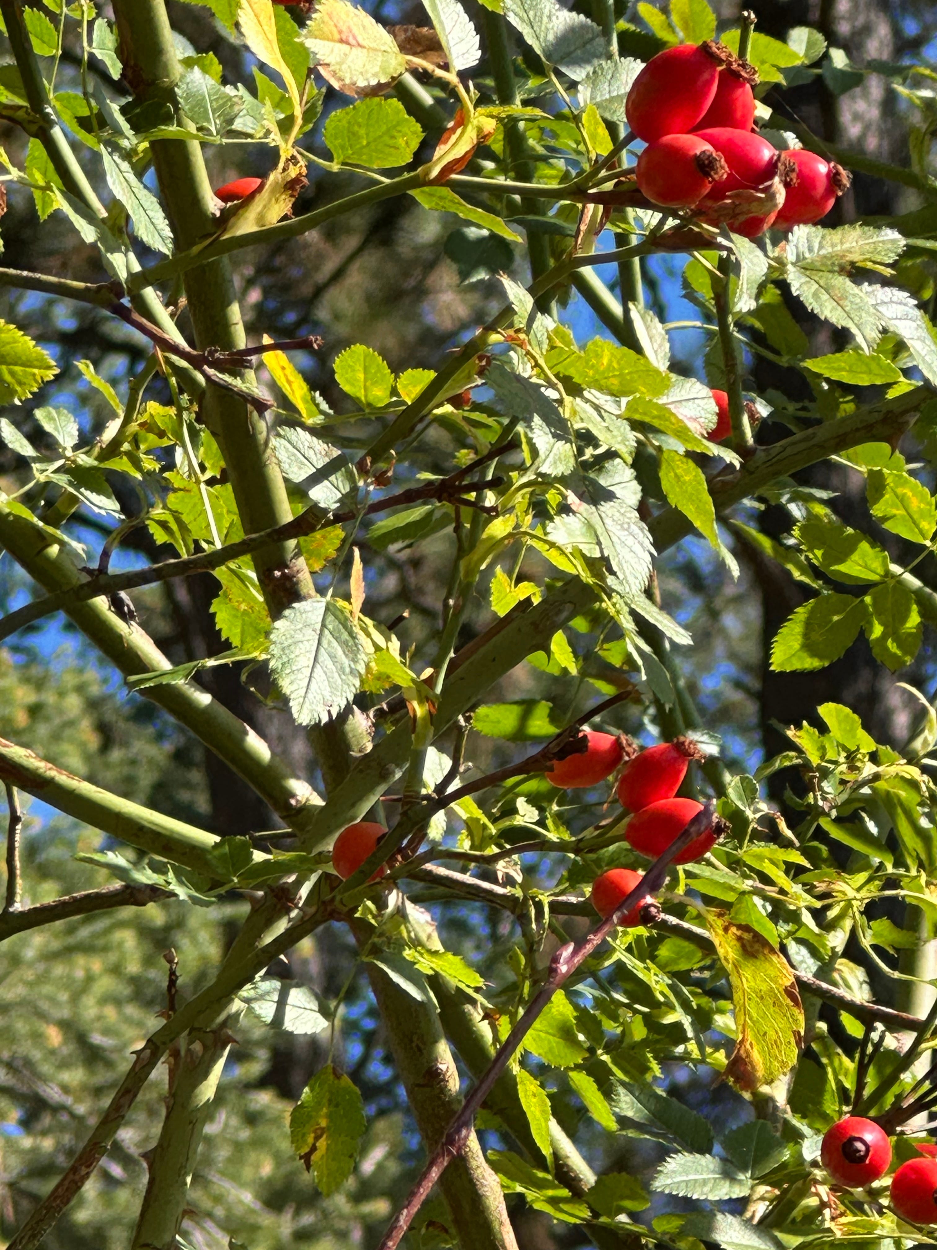
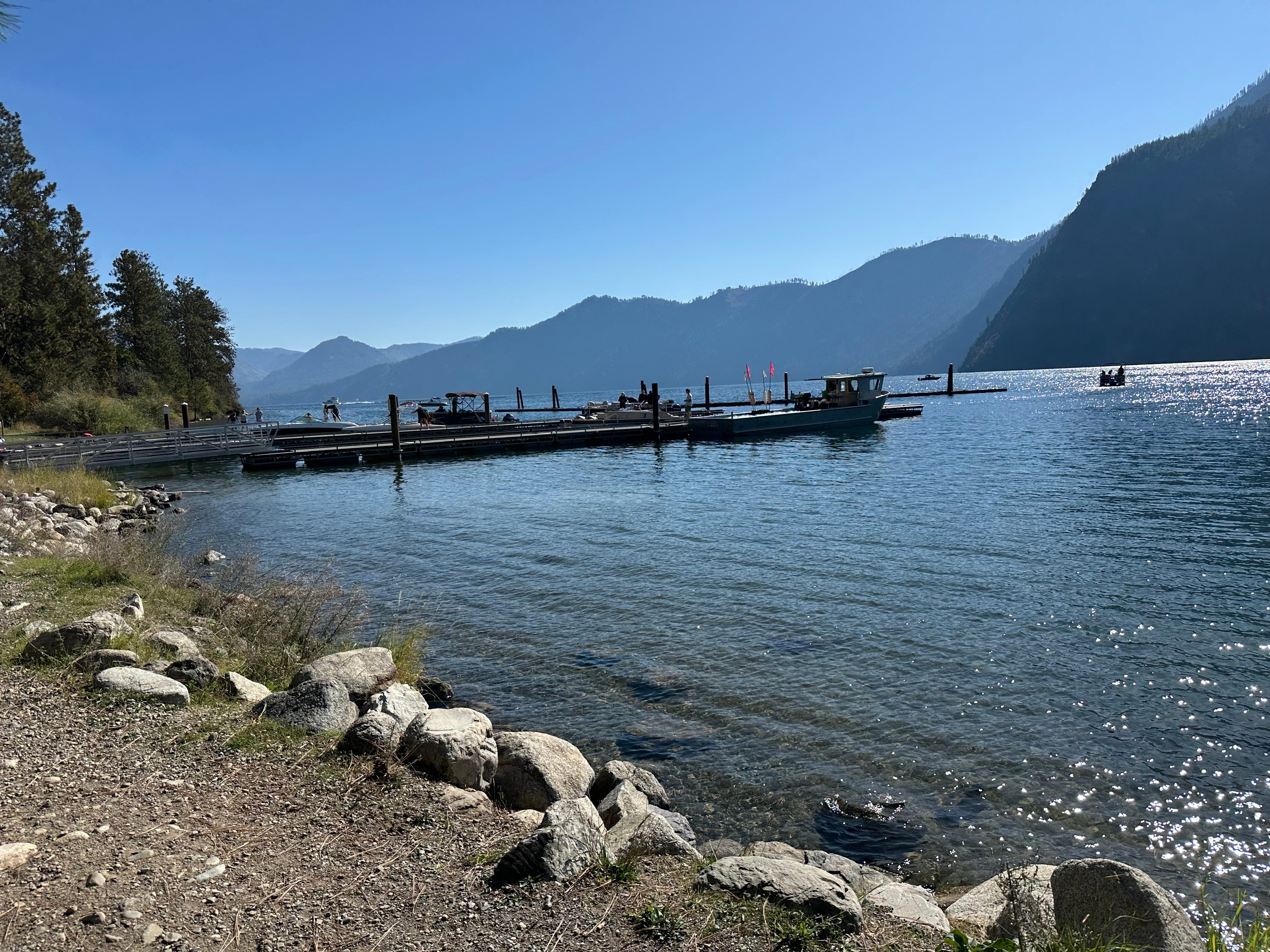
The trail hugs the shoreline. Plump red rose hip berries like Christmas bulbs decorate the brush. Sun reflects off gentle wakes breaking against the low bank. It’s as if we are walking along an ocean at low tide. The difference? Instead of an endless blue horizon, green mountain ranges rise from the water and enclose it to the west.
It’s a fall day, with a cool breeze, but that doesn’t stop a young mother in a bikini from walking into the water, as her tow-haired son stands atop a boulder.
“He’s the smart one,” Ken calls to the woman, who smiles as the boy laughs.
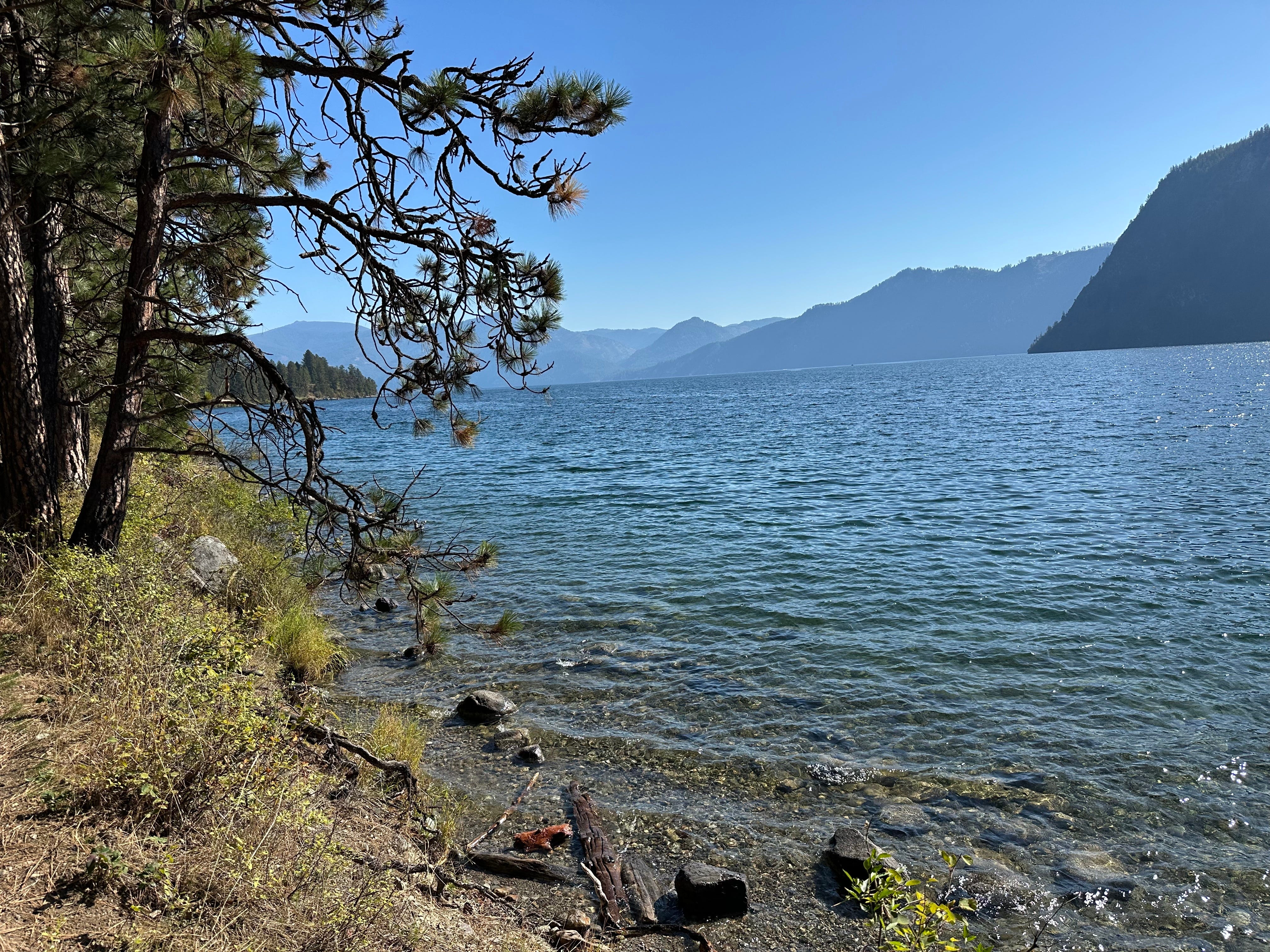
We walk on for another mile, then a little further. Most of our hikes lead to peaks with distant views. Here, I can take off my shoes and put my toes in the water. I am entranced.
“We passed where we parked,” Ken says.
“Nah,” I say, continuing on.
We reach a busy dock. Fishermen and water skiers are navigating their boats into the bay. The road leading to the dock doesn’t look familiar, which means, of course, Ken is right. We passed our entry point.
We walk up the road leading to the boat dock. I use my “Find your car” app. Within ten minutes, we’ve reached our starting point.
Ken and I discuss how I am going to explain this hike to readers. Where to start and end, what landmarks to follow.
“Tell them to park at the boat launch,” he suggests.
But I’m not entirely sure how to describe getting to the boat launch by car.
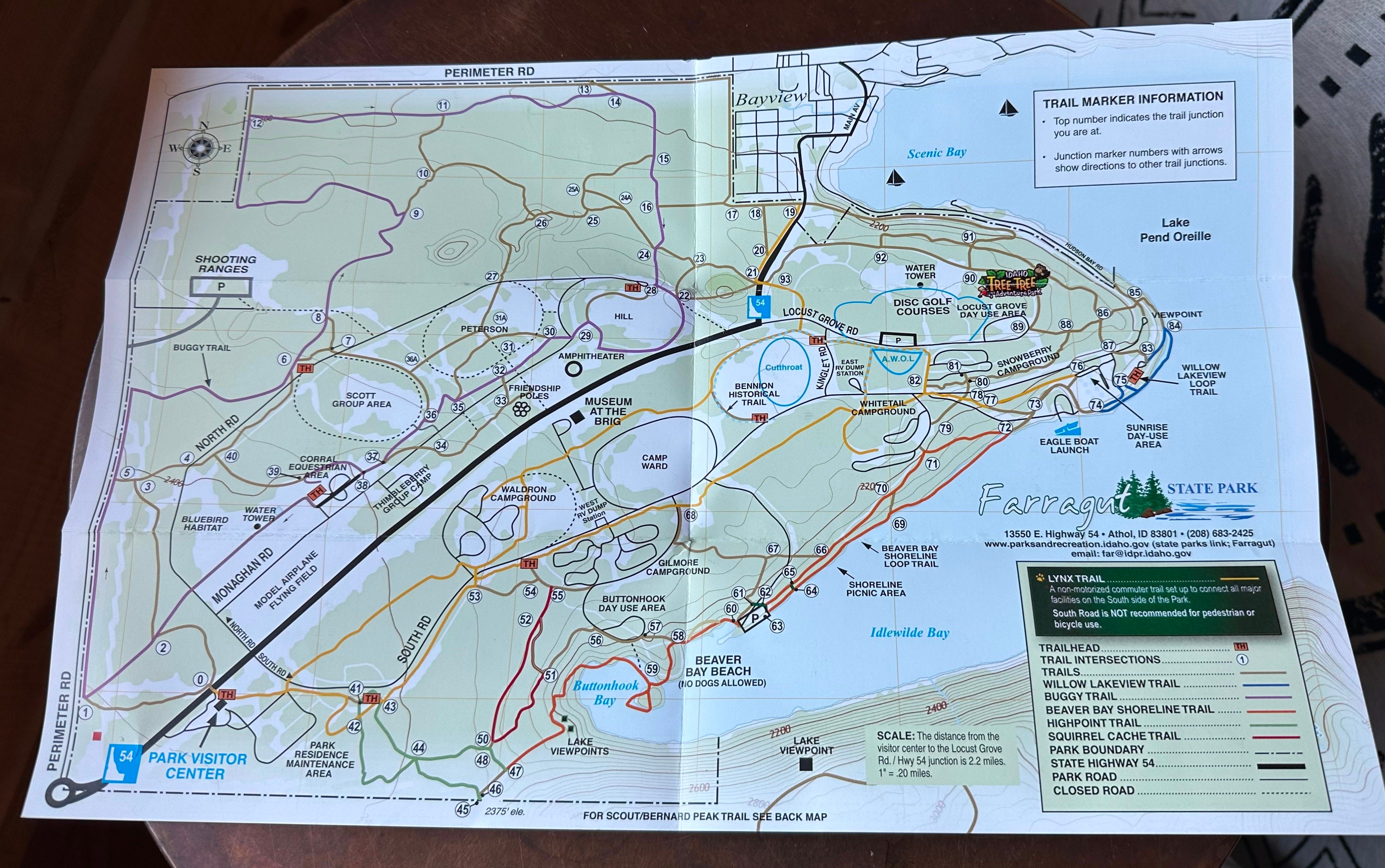
As we leave the park, I decide to stop at the Visitor Center. Get a map of the park. It might help me describe my route.
Inside the building, I hand a dollar to a park ranger, who gives me a pamphlet.
I pick it up. Open it. Flip it upside down. Turn it over. Study the lines on the map. Read the list of hikes.
“Can I answer a question?” The ranger asks.
Where is Idlewilde Bay Trail? I ask.
“There’s no such trail in the park,” she responds.
I look at her and blink. I drove over an hour in search of what I had read online was a scenic 3.4-mile shoreline trail. I assumed I had taken a wrong turn when I parked and saw no such trail mentioned on the wooden posts. The park is 4,000 acres. That seemed the logical explanation.
“Are you sure?” I ask.
This time, she blinks. Then says, “Did you read about it on AllTrails?”
“Yes.” I smile with renewed hope.
“AllTrails doesn’t work in this park.”
“Really?” I say. Impossible, I think.
“Yes. Our trails intersect. Sometimes people get confused about which trail they are on, so they take a path, give it a name, and write about it on AllTrails,” she explains.
“Oh,” I say, incredulous, as though I’ve just learned there is no Easter Bunny.
The ranger goes on to explain that the park has numerous named trails. Where the trails intersect is a post with numbers on it. The top number indicates where you are located. The bottom numbers have arrows next to them. Using a map of the park, you can choose your route, going from one named trail to another.
It’s “Choose Your Own Adventure” hiking. You need the park map to avoid route guesswork.
Back in the car, I tell Ken what I’ve learned about the nonexistent trail. He, too, is shocked.
“Wait. Do you know what this means?” I ask.
“What?”
“I can name our trail! The Jen Cox Trail!”
“Name it after me. Studmuffin Trail,” he says.
In actuality, however, thanks to the visitor’s guide, I know we walked 2.5 miles of the Beaver Bay Shoreline Loop Trail. We parked near junction 71, southeast of the Whitetail campground. If you follow the map, you could walk as far as 4 miles.
JUST THE FACTS: Beaver Bay Shoreline Loop Trail, Farragut State Park, Athol, Idaho
Distance: Our route: ~2.5 miles / Official loop: 4 miles (round trip)
Estimated Time: ~ 1.5 hours
Elevation Gain: ~44 feet
Key Highlights: Easy trail for beginners along a lovely shoreline. Buy the trail guide at the Visitor Center for $1. Don’t count on AllTrails for directions.
Difficulty: Easy
Call for Comments: Have you hiked Beaver Bay Shoreline Loop Trail? Or others in Farragut State Park? Share your stories, tips, and local history in the comments, or submit to Readers’ Hike to have your adventure highlighted.
Subscribe for weekly hike guides, practical trail info, and ‘Off the Trail’ personal essays. Let’s build this community together.