
“I give this trail an ‘F’,” Ken said, as his feet slid out from under him and he stumbled down the mountaintop.
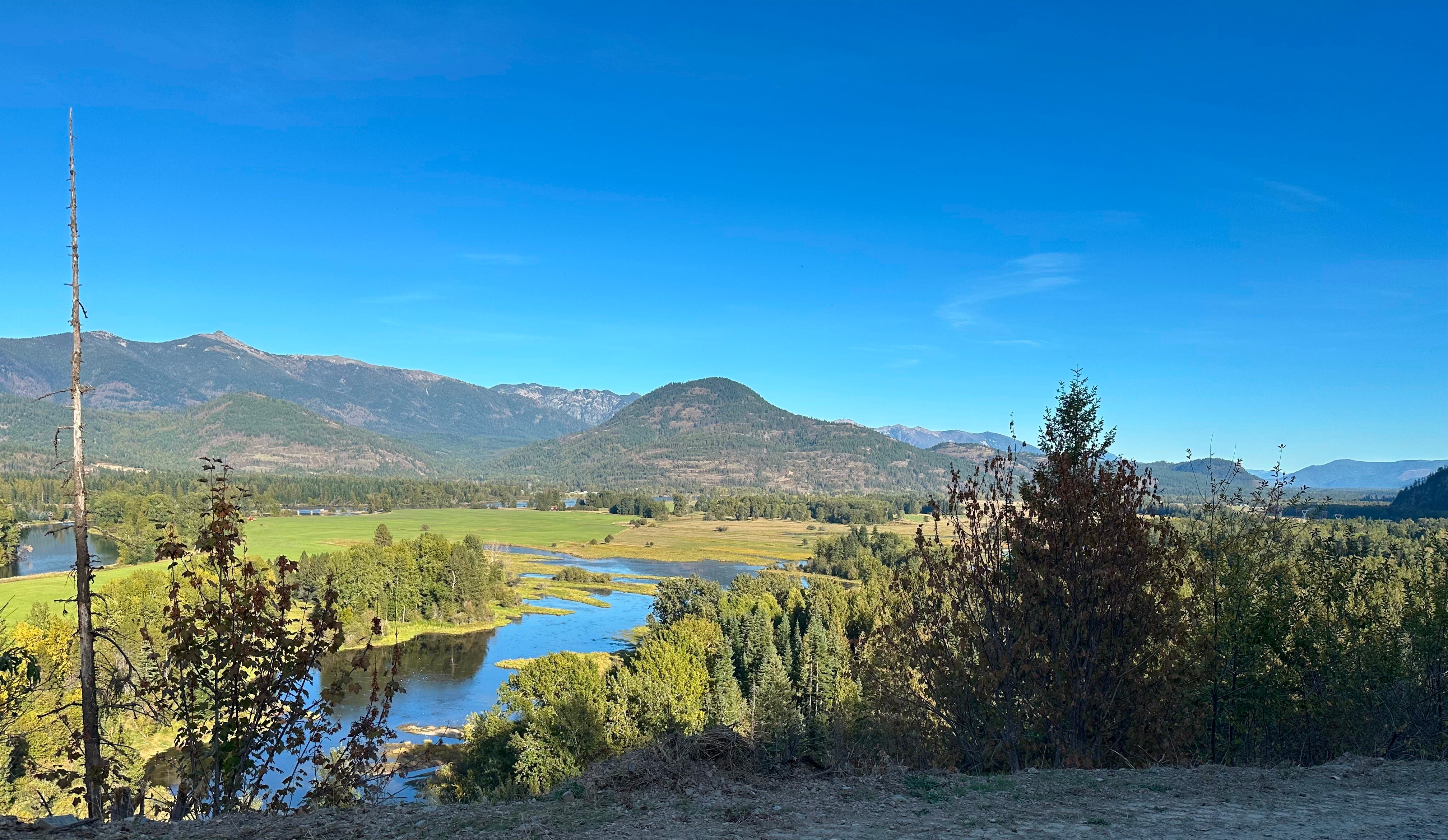
I’d watched him walk for hours, his feet twisted at the ankles, penguin-like, balancing between the narrow sides of the deeply rutted soil. My joints ached with empathy and regret.
I’d pushed for this hike, even though Ken had been skeptical. He’d read that dirt bikes frequented the path, and dreaded the squealing whir of a 250 engine or teenagers hurtling toward us at top speed.
My dental hygienist said this was one of her favorite trails when she polished my teeth months earlier. She’d also told me about Gold Hill North, which Ken and I both enjoyed. So, I took her recommendation seriously.
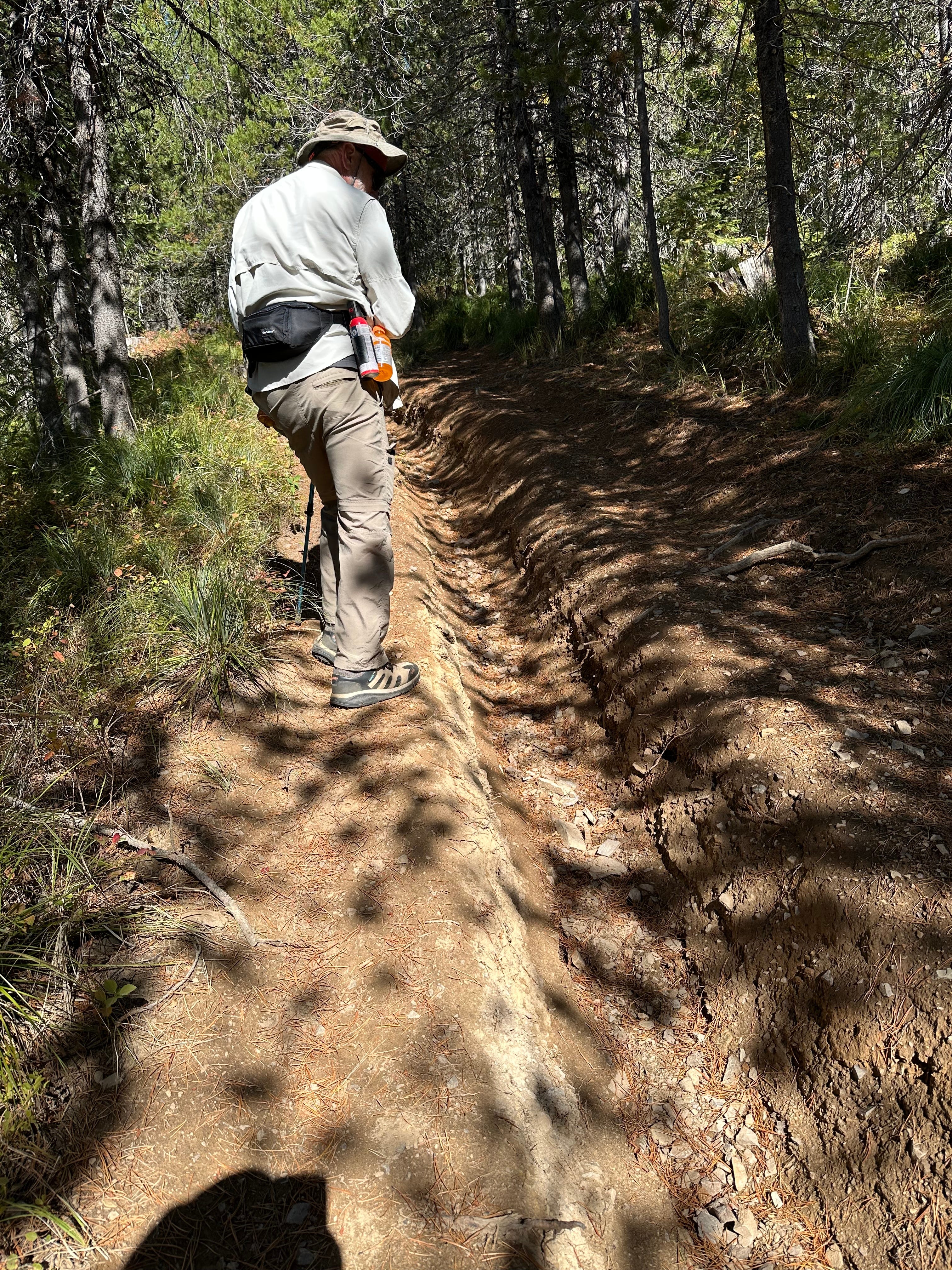
Our trip had started well. The views of the valley below as we drove up Johnson Creek Road toward the trailhead were national park quality: fields of green broken by a glassy, winding river. The gravel-and-dirt route had recently been regraded, so although it snaked along a cliff edge, it was easy to traverse.
Parking was effortless. The area peaceful, enclosed by larch, hemlock, and pine. The only sound was the frog-throated call of a raven hidden in the tree line.
But the trail’s footing was challenging from the start. It was easier to walk alongside it, in the brush of yellowing thimbleberry leaves, than in the rocky canal.
A half-mile in, hope had glimmered; the trail flattened. Lake Pend Oreille was occasionally visible through the thick foliage. But soon the land had sloped again, then rose; with each shift, the path crumbled into deep grooves and grew more treacherous.
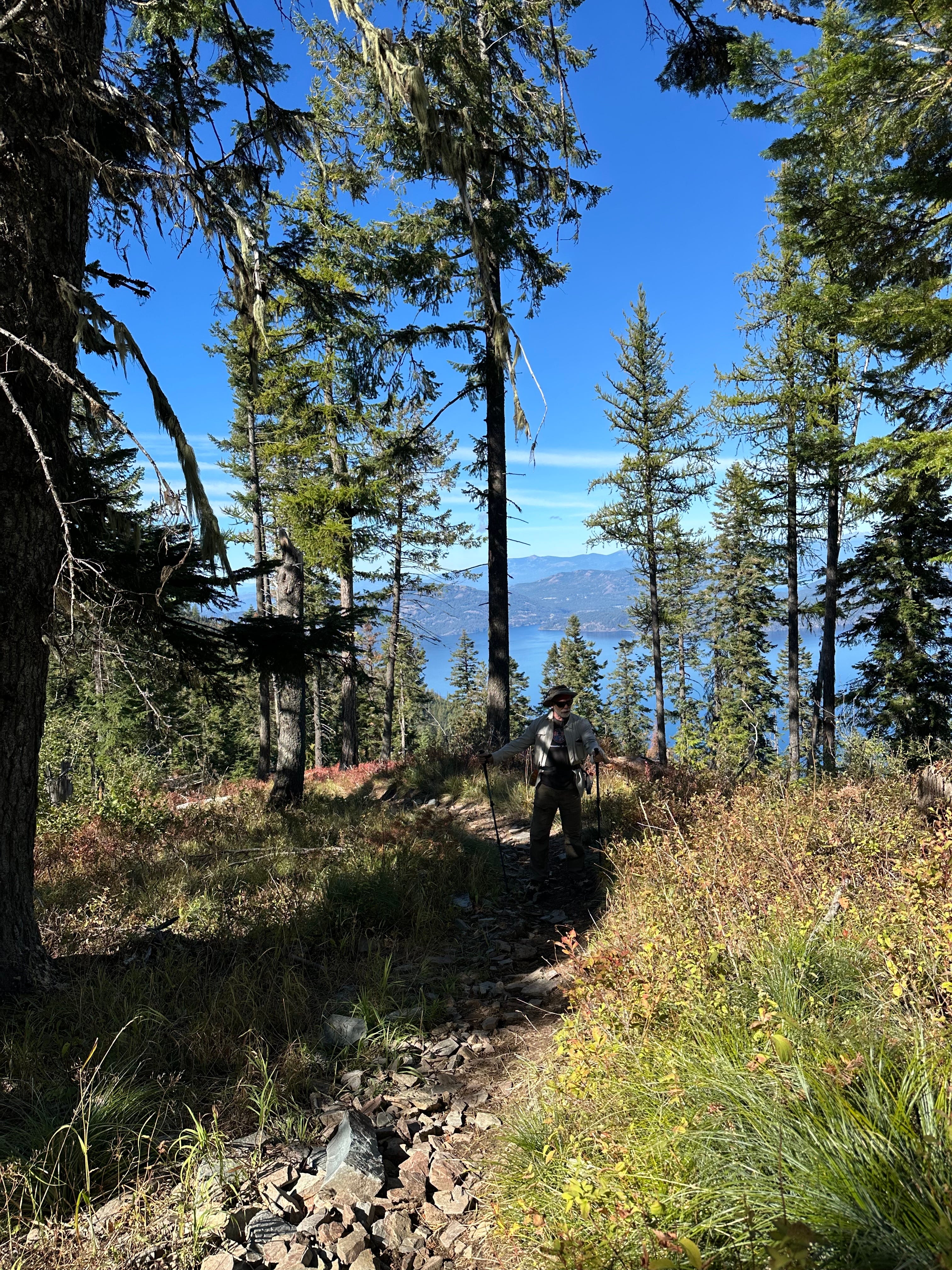
Our hiking sticks were more than an accessory. Pushing them into the earth like an extra set of legs was the only way to stay upright.
After two miles, we had reached the first peak and looked down on the winding channels of green marsh within the blue water of the Clark Fork Delta.
Ken has fished there for bass.
In the opposite direction sat two small islands: Pearl and Cottage.
We’ve visited them on our paddle boards. Wakes had tried to topple us as ski boats jetted past.
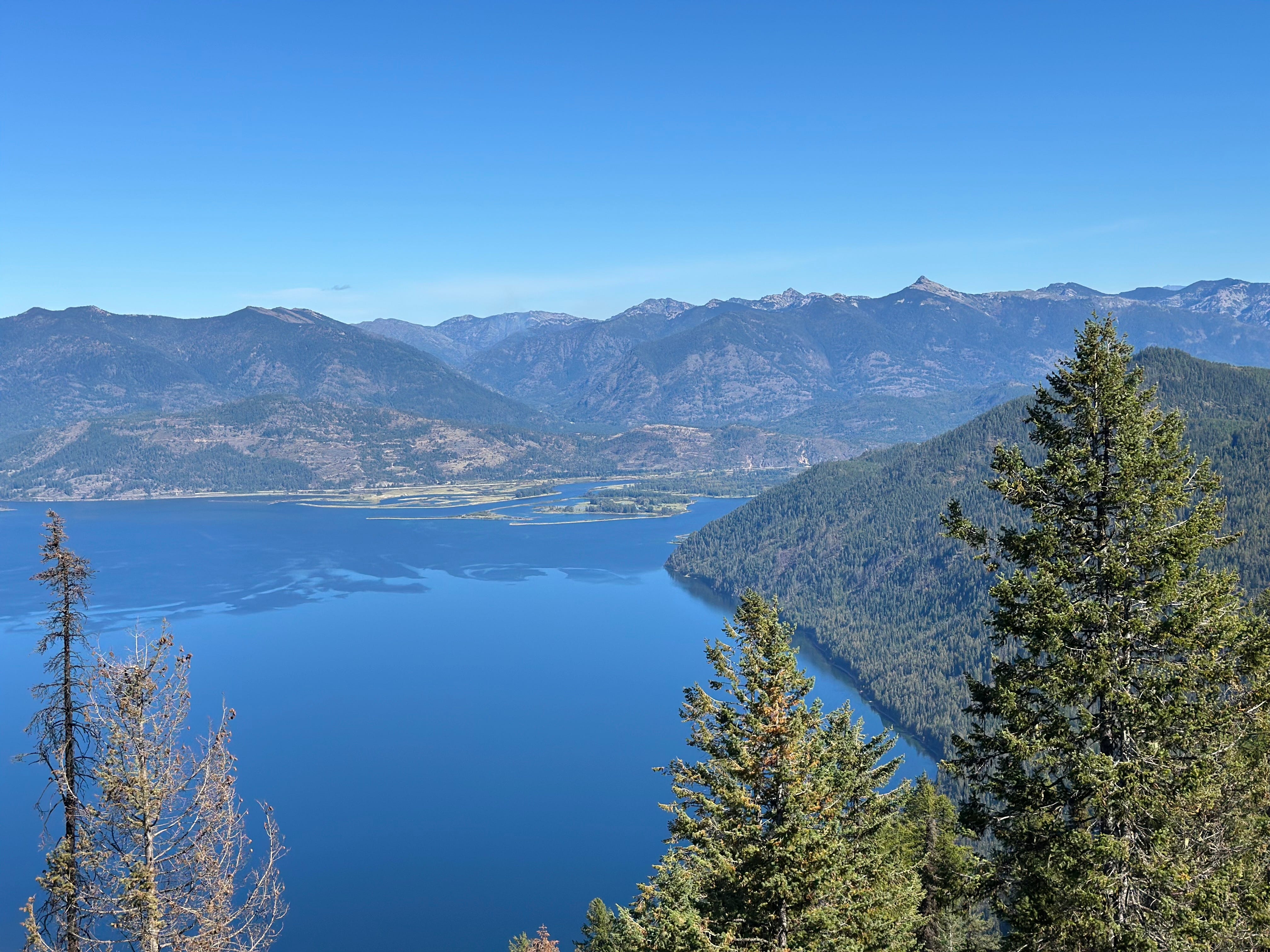
It was fun to stand on the mountain we had looked up at so often. I took pictures. We sipped water, then re-entered the forest and headed for the second peak, cursing the motorbikes that had carved the trail with every step.
After another mile, we reached the second viewpoint. Ahead of us: blue. The color of the sky above, except for the occasional white wisp of a cirrus cloud. The color of the water below, until rising mountain ranges interrupt. We forgot our thoughts of noisy two-strokes and twisted ankles.
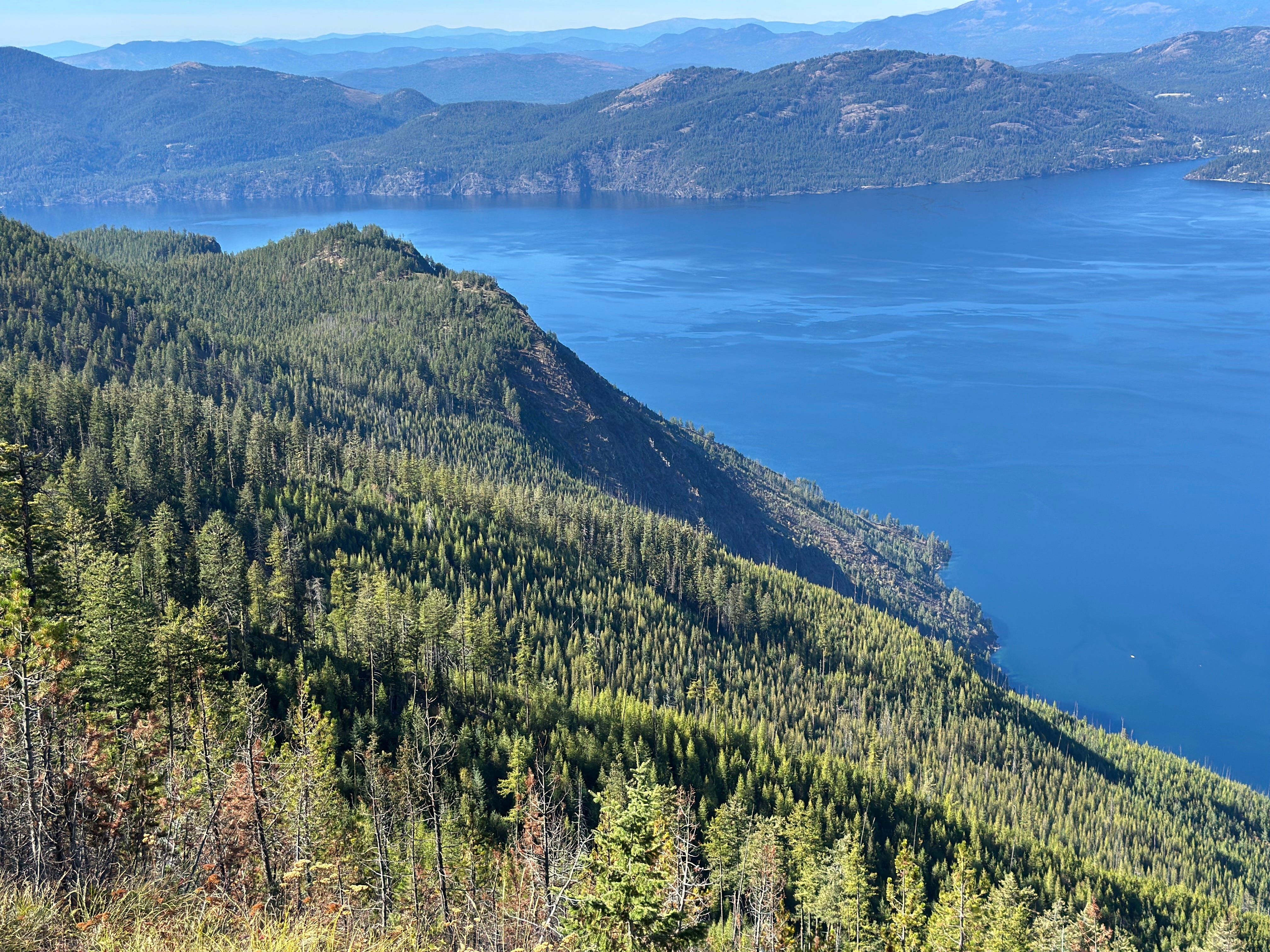
Then we turned around and looked at the trail: an ugly fault in the earth.
I picked up my hiking sticks and sighed. Watched Ken begin the descent.
JUST THE FACTS: Green Monarch Ridge Trail, Clark Fork, Idaho
Distance: 6.2 miles (total out and back)
Estimated Time: ~ 4 hours
Elevation Gain: 1,686 feet
Key Highlights: Panoramic views of Lake Pend Oreille, the Clark Fork River delta, and surrounding mountains.
Difficulty: Moderate. Not too steep, but poor trail quality makes it hard to keep your footing.
Call for Comments: Have you stumbled on Green Monarch Ridge Trail? Are there other hikes we should avoid? Share your stories and tips in the comments, or submit to Readers’ Hike.
Subscribe for practical trail info weekly, ‘Off the Trail’ personal essays, and the searchable hike index.