

I walked beside the clear water at the west fork of Placer Creek, which had once run black with toxic ash. 45 firefighters traversed this ground in late August 1910. Six succumbed to smoke and flames. The rest sloshed down the stream, stumbling and choking as they tried to cool their throats with its poison.
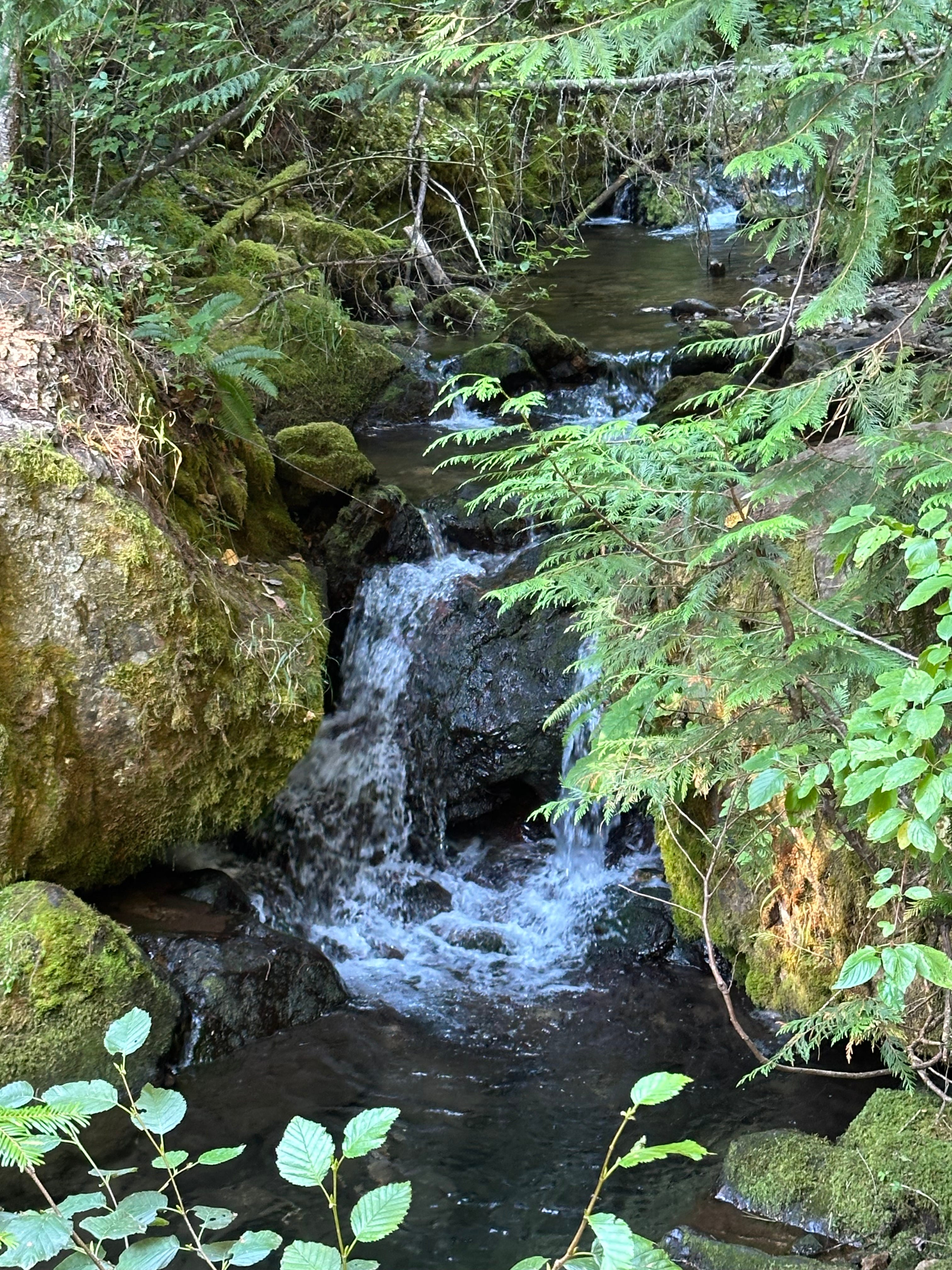
The 4-mile Pulaski Tunnel Trail is a memorial, a pathway to the mining tunnel that shielded those men. It’s a place of moss, butterflies, and thimbleberries. On a sunny, still day, it’s impossible to imagine the weather they endured.
“The wind was so strong that it almost lifted men out of their saddles, and the canyons seemed to act as chimneys, through which the wind and fires swept with the roar of a thousand freight trains,” wrote Ed Pulaski, the Forest Ranger credited with leading the men to safety in the mine, and after whom the trail is named. He forced some to remain hidden within the shaft at gunpoint
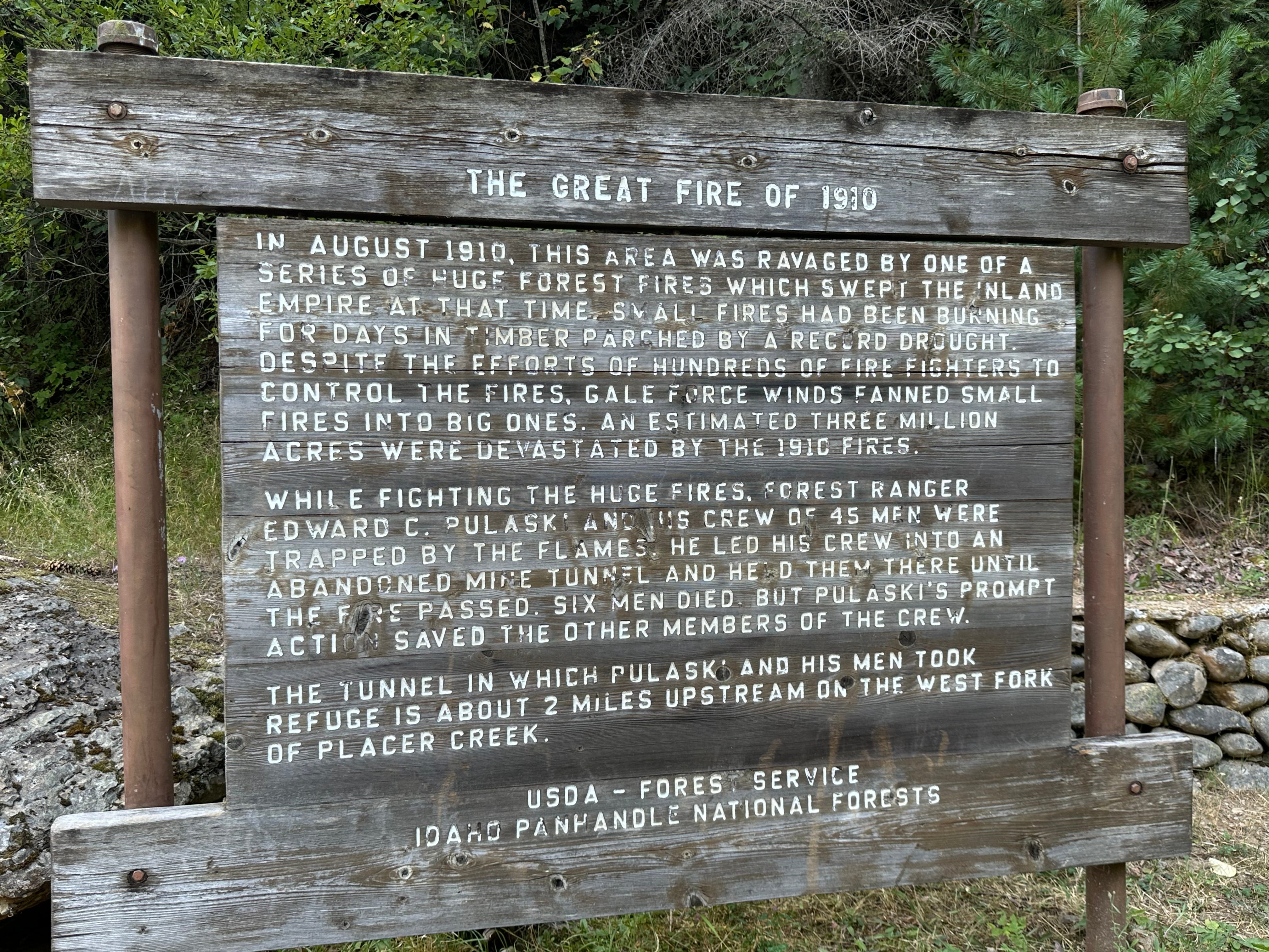
It was the wind that transformed a series of small fires into what was then the largest recorded blaze in U.S. history: more than 3 million acres burned across Idaho, Montana, and Washington, leaving scorched earth the size of Connecticut.
Signs posted along the now-scenic route describe what happened: the lack of rain, the crimson sun, and the death toll.
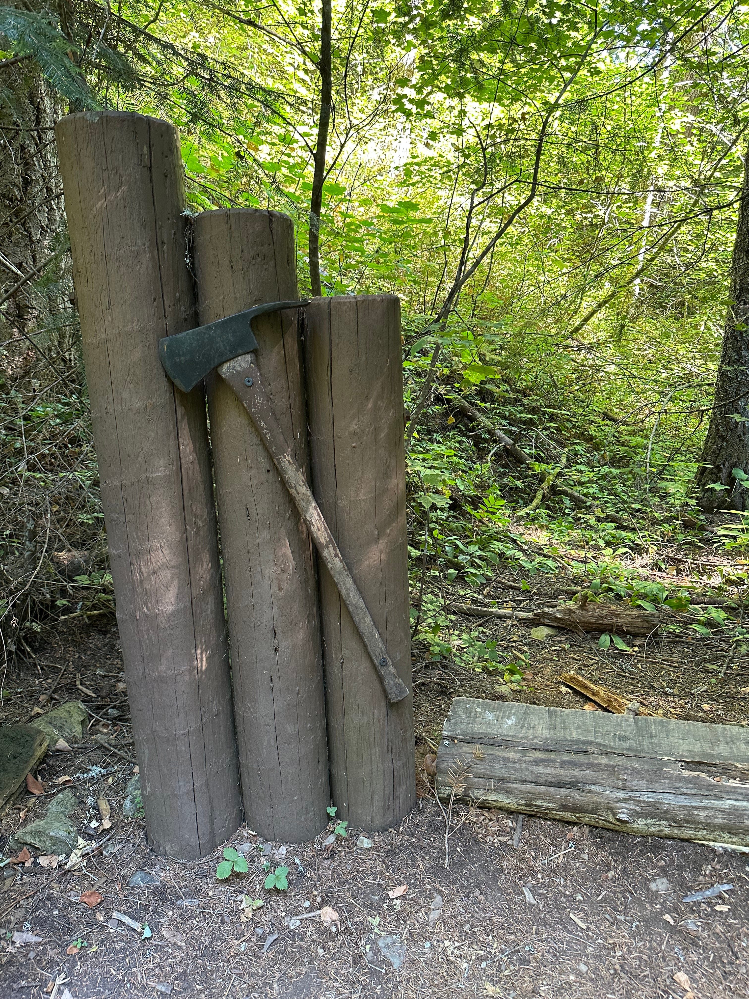
A Pulaski, the firefighting tool the hero developed after the Great Fire ended, is hung next to each display. Half-axe, half-hoe, it serves as a single tool for chopping brush and small trees and for digging firebreaks.
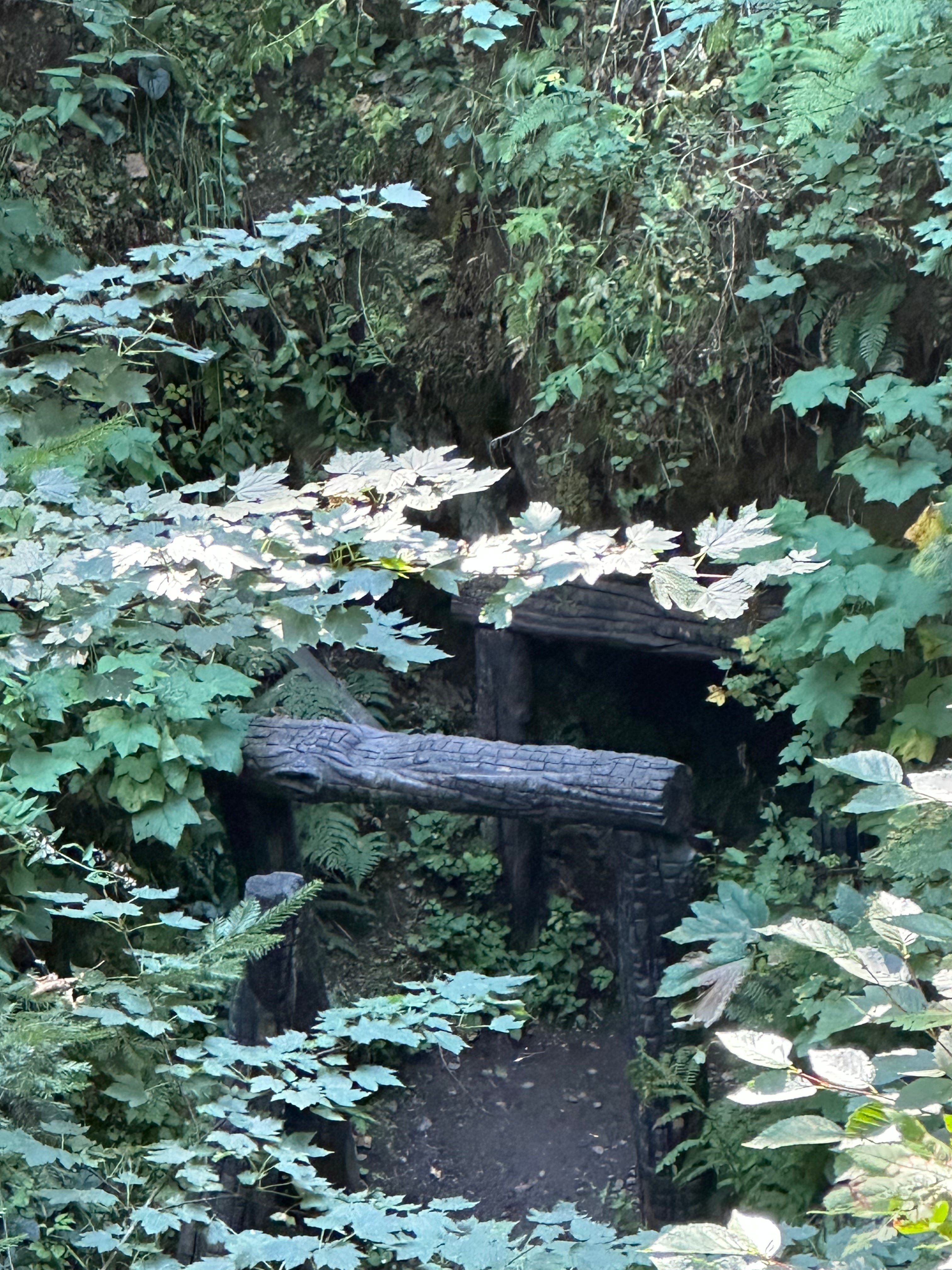
Despite the prominent markings, I almost passed the mine entrance. It lies low on the bank across the stream. The logs at the opening are not the original burned wood but recreated columns, serving (like the Pulaski) a dual purpose. They are a tombstone for those who died:
An unidentified man,
August Berger,
Joe Ferre,
Harry Hansen,
William Learmouth,
Richard Woods,
and a commemoration of the 39 who survived.
The Great Fire smoldered out a few days after the men left the sanctuary of the mine. Temperatures cooled. Rain rolled in.
The two-mile mark is just past the monument. Where the last placard stands, the trail loops and returns to its original path. Although steep in some places, it’s a wide, frequently visited route. Described as moderate because of its slope but verging on easy for regular trekkers.
The Pulaski Tunnel Trail lacked the majestic mountains and the crystalline alpine lakes I’ve become accustomed to since starting my 50 hikes. Its history, however, made it one of the most interesting passages.
As I headed home, driving north on Route 95, white smoke from the 250-acre Silver Fire near the Roman Nose in the Selkirks billowed across the sky. Idaho has been dry this year, with only 11.6 inches of precipitation in the first six months. For much of the summer, the air across the Pacific Northwest has been dense and an eerie shade of orange. I worry and pray for rain.
JUST THE FACTS: Pulaski Tunnel Trail, Wallace, Idaho
Distance: 4 miles (total out and back)
Estimated Time: ~ 2.5 hours
Elevation Gain: 738 feet
Key Highlights: Incredible history, interpretive signs, creek, mine overlook. Limited parking!
Difficulty: Moderate.
Call for Comments: Have you hiked Pulaski Tunnel Trail? Share your stories, tips, and local history in the comments, or submit to Readers’ Hike to have your adventure highlighted.
Subscribe for weekly hike guides, practical trail info, and ‘Off the Trail’ personal essays. Let’s build this community together.
References:
“Idaho.” Drought.gov, National Integrated Drought Information System, www.drought.gov/states/idaho. Accessed 27 Aug. 2026.
“The 1910 Fires.” Forest History Society, 15 Feb. 2017, foresthistory.org/research-explore/us-forest-service-history/policy-and-law/fire-u-s-forest-service/famous-fires/the-1910-fires/. Accessed 27 Aug. 2026.